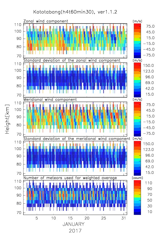
Time-height plot and numerical (text and NetCDF) wind data estimated by MWR at Kototabang (monthly, h4km_t60min30, 2017)

Data period: Nov 15, 2002 --


Data Use Policy

If you would like to use following data for scientific purpose, please read and follow the DATA USE POLICY (English, Japanese)


2017: Jan   Feb   Mar   Apr   May   Jun   Jul   Aug   Sep  

<< 2016


Date 1-month plot
(.gif)
Numerical data
(text)
Numerical data
(NetCDF)
Jan 01, 2017   Wk201701.h4t60min30.txt Wk201701.h4t60min30.nc
Feb 01, 2017   Wk201702.h4t60min30.txt Wk201702.h4t60min30.nc
Mar 01, 2017   Wk201703.h4t60min30.txt Wk201703.h4t60min30.nc
Apr 01, 2017   Wk201704.h4t60min30.txt Wk201704.h4t60min30.nc
May 01, 2017   Wk201705.h4t60min30.txt Wk201705.h4t60min30.nc
Jun 01, 2017   Wk201706.h4t60min30.txt Wk201706.h4t60min30.nc
Jul 01, 2017   Wk201707.h4t60min30.txt Wk201707.h4t60min30.nc
Aug 01, 2017   Wk201708.h4t60min30.txt Wk201708.h4t60min30.nc
Sep 01, 2017   Wk201709.h4t60min30.txt Wk201709.h4t60min30.nc

Created: Tue Sep 03 04:01:02 +0900 2019

RISH Metadata Management Group
Research Institute for Sustainable Humanosphere (RISH), Kyoto University
Gokasho, Uji, Kyoto 611-0011, Japan
E-mail: iugonet (at) rish.kyoto-u.ac.jp

top
Kototabang MWR
Meteor Wind and Medium Frequency Radar Data